
Networking Technology – A Review and Comparison
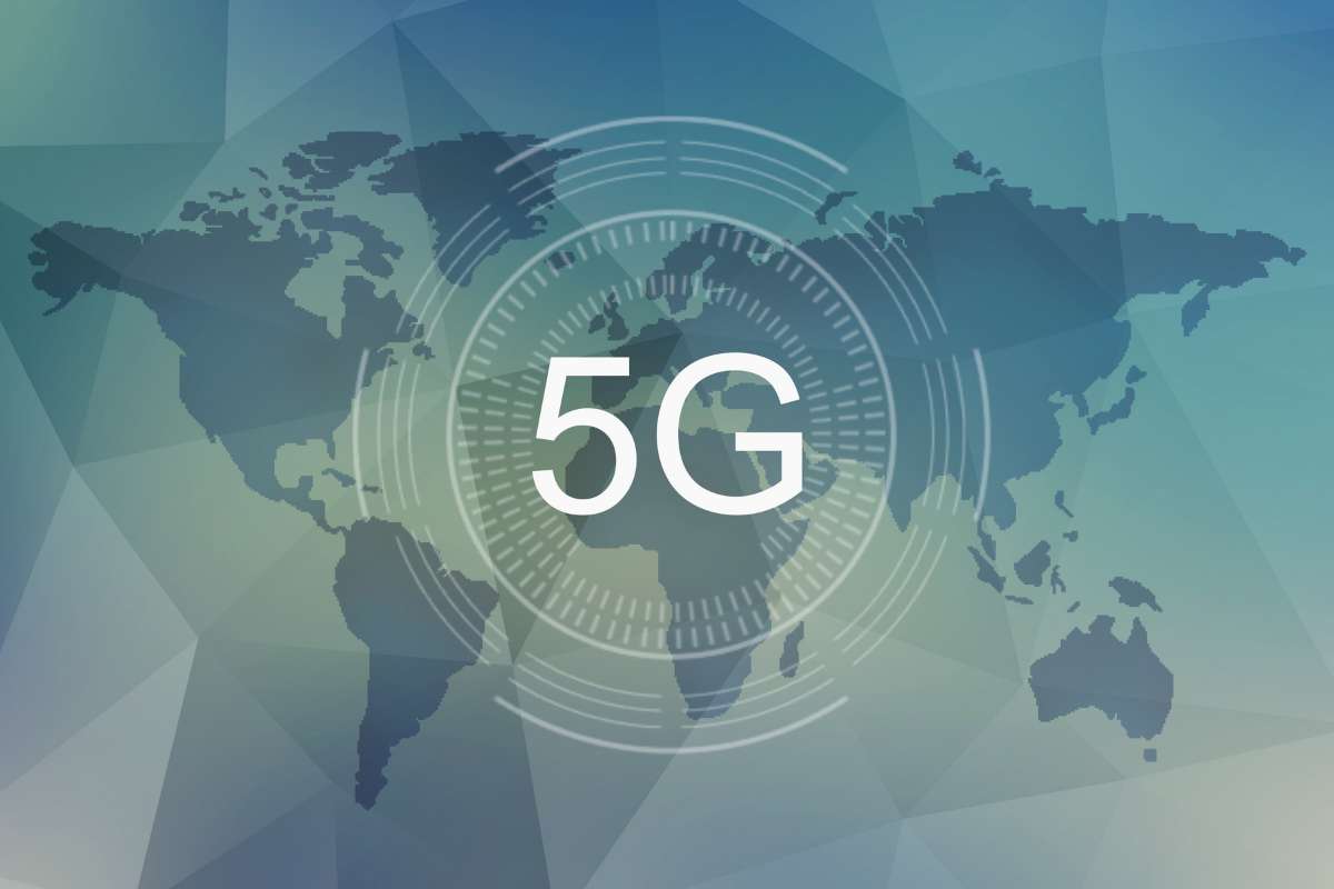
In the realm of telecommunications, the advent of 5G technology has ushered in a new era of connectivity, promising good speed, reliability, and capacity. Among the key players in this landscape, Nokia has been at the forefront of developing and implementing 5G networking solutions along with several other players. This article aims to provide a comprehensive review and comparison of Nokia’s 5G networking technology, exploring its features, performance, and market positioning.
Evolution of Nokia’s 5G Networking Technology
Nokia, a renowned name in the telecommunications industry, has been actively involved in shaping the future of 5G technology. The company’s journey in 5G development can be traced back to its early research and standardization efforts. Over the years, Nokia has made significant strides in advancing 5G networking technology, from conceptualization to commercial deployment.
Nokia’s approach to 5G networking encompasses a wide array of technologies, including massive MIMO (Multiple-Input Multiple-Output), beamforming, network slicing, and edge computing. These innovations have enabled Nokia to offer high-speed, low-latency connectivity, catering to diverse use cases ranging from enhanced mobile broadband to mission-critical industrial applications.
Key Features and Capabilities
1. Enhanced Mobile Broadband (eMBB)
Nokia’s 5G networking technology delivers unparalleled speeds, enabling seamless ultra-high-definition video streaming, virtual reality experiences, and immersive gaming. The implementation of massive MIMO and advanced beamforming techniques ensures robust coverage and capacity, enhancing the end-user experience.
2. Ultra-Reliable Low Latency Communication (URLLC)
With a focus on ultra-low latency and high reliability, Nokia’s URLLC capabilities empower critical communication services such as autonomous vehicles, industrial automation, and remote healthcare. By leveraging network slicing and edge computing, Nokia ensures stringent quality of service for latency-sensitive applications.
3. Extensive IoT Connectivity
Nokia’s 5G networking technology provides extensive support for massive IoT deployments, accommodating a vast number of connected devices with varying throughput and latency requirements. This capability is instrumental in enabling the Internet of Things (IoT) ecosystem, spanning smart cities, industrial IoT, and agricultural automation.
Market Comparison and Positioning
Amidst a competitive landscape, Nokia’s 5G networking technology stands out for its comprehensive feature set, interoperability, and scalability. When compared to other industry players, Nokia demonstrates a strong commitment to open standards and interoperability, fostering a multi-vendor ecosystem that promotes innovation and flexibility.
Furthermore, Nokia’s emphasis on end-to-end solutions, spanning radio access, core network, and cloud infrastructure, positions the company as a holistic 5G enabler. This integrated approach resonates with operators and enterprises seeking a unified platform for deploying and managing 5G networks, thereby strengthening Nokia’s foothold in the market.
In conclusion, Nokia’s 5G networking technology represents a culmination of extensive research, innovation, and industry collaboration. With its robust feature set, diverse capabilities, and strategic positioning, Nokia continues to play a pivotal role in shaping the 5G landscape, driving the proliferation of next-generation connectivity across various sectors.
A few disadvantages to be aware of:
- Limited selection: Compared to other major manufacturers, Nokia currently offers a smaller selection of 5G phones. This means you may have fewer options to choose from in terms of features, price range, and design.
- Lower-end specs: Many Nokia 5G phones, like the G42 and X30, are positioned in the budget or mid-range segment. This often translates to less powerful processors, lower-resolution displays, and fewer camera features compared to flagship 5G phones from other brands.
- Slower charging: Some Nokia 5G phones only support slower charging speeds, which means it can take longer to fully recharge the battery compared to phones with faster charging capabilities.
- Limited 5G band support: Some Nokia 5G phones may have limited support for different 5G bands, which could potentially impact your connection speeds and network compatibility depending on your location and carrier.
Nokia faces competition in the 5G market from several major players, each with their own strengths and weaknesses:
-
Samsung: A leading manufacturer of Android smartphones, Samsung offers a wide range of 5G phones across various price points, from budget-friendly options to high-end flagships like the Galaxy S23 Ultra. They are known for their innovative features, powerful processors, and high-quality displays.
- Apple: While Apple offers fewer 5G phone models compared to some competitors, their iPhones are known for their premium build quality, powerful A-series processors, and long-lasting software support. The iPhone 15 Pro Max is their current flagship 5G offering.
- Xiaomi: A popular brand known for offering feature-packed phones at competitive prices, Xiaomi also has a good selection of 5G phones in various segments. Their latest offering is the Xiaomi 13 Pro.
- Google Pixel: Google’s Pixel series is known for its clean software experience, integration with Google services, and excellent camera capabilities. The Pixel 7 Pro is their latest flagship 5G offering.
- OnePlus: Another Chinese brand known for its powerful and fast-performing smartphones, OnePlus offers several 5G options, including the recently released OnePlus 11.
These are just a few of the major competitors Nokia faces in the 5G market. When choosing a 5G phone, it’s important to consider your individual needs and preferences, such as budget, desired features, brand preference, and camera quality, to select the best option for you.